By 1812Blockhouse
Every home, business, school, and farm in Richland County has more than a street address. It also has a watershed address, one that helps explain where rainwater and melting snow go after they leave the land.
That idea is at the center of information shared by the Richland Soil & Water Conservation District, which is encouraging residents to better understand the watersheds that shape the county. Some local water flows north toward Lake Erie, while other streams begin a much longer journey toward the Ohio River, the Mississippi River, and eventually the Gulf of Mexico.
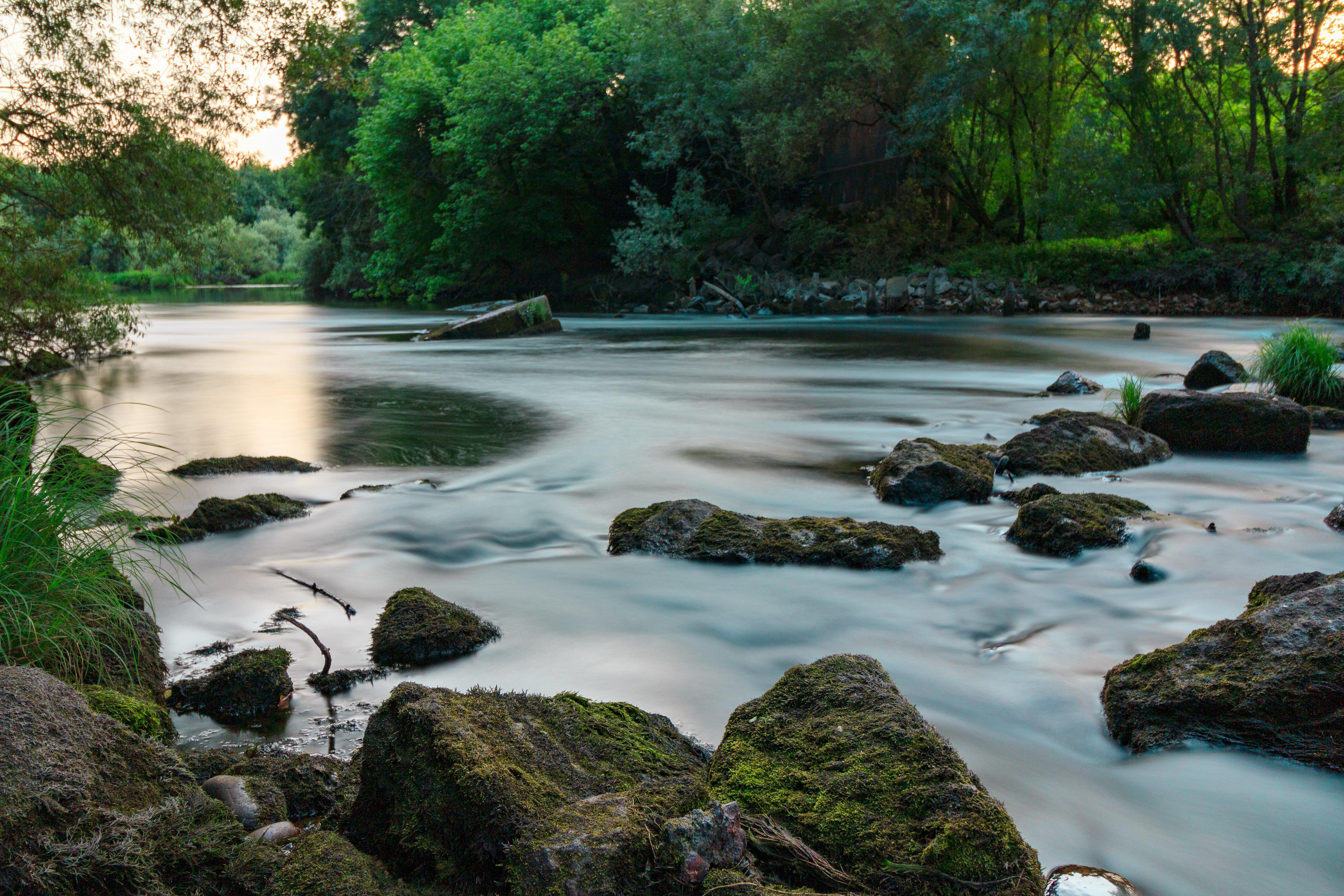
A watershed is an area of land where water drains to the same place. When rainfall or snowmelt is not absorbed into the soil, it becomes runoff and moves across the landscape toward streams, rivers, lakes, and larger bodies of water.
That runoff can carry more than water. When it moves across rooftops, driveways, roads, parking lots, and other hard surfaces, it can contribute to flooding, soil erosion, and polluted waterways. Richland Soil & Water notes that reducing those problems takes shared effort from residents, businesses, landowners, and communities.
Volunteers play an important role in helping the district monitor local water conditions. Precipitation volunteers track rainfall and snowfall, while Lake Monitor and Stream Quality Monitor volunteers record additional data about local water resources. Those results are available through the district’s water data map. Together, the information helps show how water moves through the county and how local conditions change over time.
Richland Soil & Water encourages residents to use its watershed map to find their own watershed address. By entering a home or work address, users can see which watershed they are part of and learn more about where nearby water flows. It is a simple exercise with a broader lesson. A person may live in Mansfield, Shelby, Bellville, Butler, Plymouth, or another part of the county, but their watershed address connects them to a larger system of streams, rivers, and downstream communities.
Three Richland County watersheds eventually drain north to Lake Erie. The Huron watershed begins in northern Richland County near Plymouth and flows toward Lake Erie at Huron.
The Sandusky watershed begins on the western side of Richland County, moves toward Bucyrus, and eventually reaches Lake Erie at Sandusky Bay. The Upper Vermillion watershed starts in the northeastern corner of the county and flows toward Lake Erie at Vermillion.
Together, those watersheds place part of Richland County within the Lake Erie drainage system. That means local land use, stormwater management, and conservation practices can have an impact far beyond the county line.
Other Richland County watersheds send water south and west through a long chain of rivers. The Rocky Fork watershed begins near Mansfield and Ontario, passes through Mansfield, and joins the Black Fork River east of Lucas. The Black Fork watershed also begins near Mansfield and Ontario. It flows through Shelby and Charles Mill Lake before joining Rocky Fork east of Lucas, below Charles Mill Lake.
The Clear Fork watershed begins in Richland and Morrow counties, then flows through Clear Fork Reservoir, Lexington, Bellville, and Butler. Near Loudonville, it joins the Black Fork and becomes part of the Mohican River system, eventually reaching the Walhonding, Muskingum, Ohio, and Mississippi rivers before ending at the Gulf of Mexico.
The Upper Kokosing watershed begins in southern Richland County, west of Butler, and flows toward Kokosing Lake. From there, it also connects to the Walhonding, Muskingum, Ohio, and Mississippi rivers on the way to the Gulf.
The Upper Olentangy watershed begins in Sandusky Township and flows toward Delaware Reservoir. Its waters continue through the Olentangy River, Scioto River, Ohio River, Mississippi River, and finally the Gulf of Mexico.
Richland County’s watershed map tells a story of connection. A drop of rain falling in one part of the county may end up in Lake Erie, while another falling elsewhere may travel hundreds of miles through a network of rivers before reaching the Gulf of Mexico. That makes watershed awareness more than a geography lesson. It is a reminder that local choices, from reducing runoff to protecting soil and limiting pollution, can affect water quality in places residents may never see.
Knowing your watershed address is a practical first step. It helps residents understand where their water goes, how their neighborhood fits into the larger landscape, and why conservation begins close to home.


